
FIND PLACES TO RIDE, SHARE YOUR FAVORITE PLACES, OR SHOW THE OHV COMMUNITY THAT YOUR BUSINESS SUPPORTS THEM!
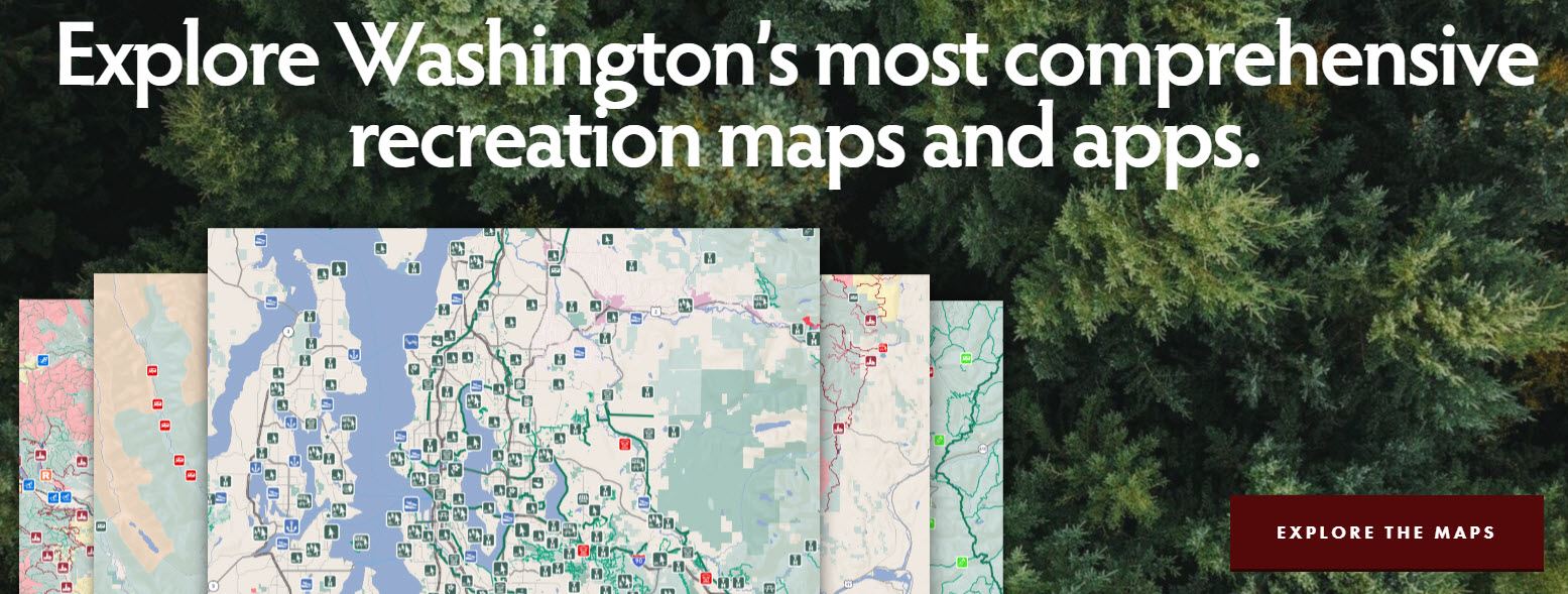
Looking for places to ride your trail bike, ATV or 4x4? Washington Hometown has released OHV WA, available as an interactive map you can access through your browser and a free app for Apple and Android. OHV WA has information from all types of recreation agencies including USFS, WDNR, BLM and counties. The maps include over 2,000 miles of trails, 5,915 miles of recreation roads open to OHVs, 10,074 miles of county roads open to Street Legal ATVs (WATVs), 82 cities that allow WATVs, 152 trail heads and other recreation facilities throughout the State of Washington. Filters and symbols help you find what you need for your favorite activity. Trails and trailheads are coded by the sports allowed. Filters let you highlight places by activity (e.g. 4x4, ATV), pass required or facilities. They are also adding businesses: filter to find the services you are looking for open on the day you need them.
Ride with the app and you can track your location. Click on any point, trail or area for more information and links to the web sites. The pop-ups also give you a link to Google map directions to that area, the weather forecast and other information that you might need. Riding in an area without cell service, the apps offer the option to download regions for off-line navigation.
WOHVA is a prime sponsor of the Washington Hometown OHV WA map!